
The integration of Global Navigation Satellite Systems (GNSS) and drones has revolutionized the construction industry, particularly in the realm of surveying. These technologies have brought unprecedented accuracy and efficiency to tasks that once required extensive manual labor and time. By leveraging advanced GNSS capabilities and the versatility of drones, construction professionals can now achieve precise and reliable survey results with greater ease. The adoption of this approach is transforming the landscape of construction project management and execution.
The Role of GNSS and Drones in Modern Surveying
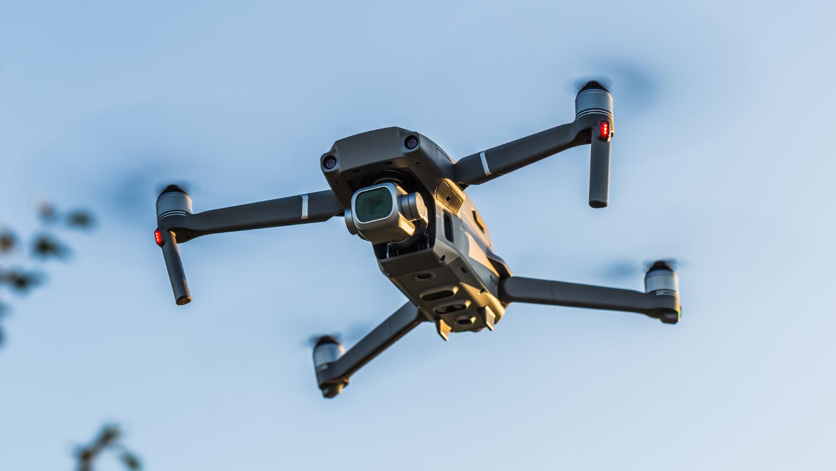
The combination of GNSS technology with drones, or unmanned aerial vehicles (UAVs), has provided the construction industry with powerful tools for accurate and efficient surveys. A UAV kit equipped with GNSS receivers enables the collection of high-precision geospatial data from the air, covering large areas swiftly and effectively. This setup reduces the need for ground-based survey teams, minimizing both time and labor costs.
Drones equipped with GNSS receivers can capture detailed topographical information, create 3D models, and provide real-time updates on site conditions. This data is crucial for various stages of construction, from initial planning to ongoing project monitoring. The ability to rapidly gather and process geospatial data ensures that construction projects remain on schedule and within budget, reducing the likelihood of costly delays and rework.
Enhancing Accuracy and Efficiency in Construction Surveys
Precision in Topographic Mapping
Topographic mapping is a fundamental aspect of construction surveys. Accurate maps are essential for planning site layouts, designing infrastructure, and ensuring that construction proceeds according to specifications. Traditional topographic surveys involve manual measurements, which can be time-consuming and prone to human error. GNSS and drone technology streamline this process, providing high-resolution data with centimeter-level accuracy.
By using drones for topographic mapping, surveyors can quickly capture detailed elevation data across large sites. This data is processed to create digital terrain models (DTMs) and contour maps, which serve as the foundation for design and planning. The precision offered by GNSS-enabled drones ensures that these maps accurately represent the site’s features, allowing for more informed decision-making and reducing the risk of errors during construction.
Real-Time Monitoring and Progress Tracking
One of the significant advantages of integrating GNSS and drones in construction surveys is the ability to conduct real-time monitoring and progress tracking. Construction sites are dynamic environments where conditions can change rapidly. Traditional survey methods may not provide the frequency of data updates needed to respond to these changes effectively. Drones, however, can be deployed regularly to capture up-to-date information on site conditions and project progress.
Real-time monitoring with drones allows project managers to detect and address issues promptly. For example, they can identify discrepancies between the planned design and the actual site conditions, monitor the progress of earthworks, and ensure that materials are being used as intended. This continuous feedback loop enhances project control, improves efficiency, and helps maintain timelines and budgets.
Applications of GNSS and Drones in Construction
Site Inspections and Safety
Safety is a paramount concern on construction sites, and GNSS-equipped drones play a crucial role in enhancing site inspections and safety monitoring. Drones can access areas that may be hazardous or difficult for personnel to reach, such as high structures, unstable terrain, or confined spaces. By capturing high-resolution imagery and video footage, drones provide a comprehensive view of the site, allowing safety officers to identify potential hazards and ensure compliance with safety regulations.

Moreover, the data collected by drones can be used to create detailed records of site conditions, which are essential for incident investigations and safety audits. The ability to perform regular and thorough inspections with drones reduces the risk of accidents and enhances overall site safety.
Volume Calculations and Material Management
Efficient material management is critical for the success of construction projects. Accurate volume calculations of materials, such as soil, gravel, and sand, are necessary for planning and cost estimation. Traditional methods of measuring stockpile volumes involve manual measurements and estimations, which can be imprecise and labor-intensive. Drones, combined with GNSS technology, offer a more accurate and efficient solution.
Drones can capture detailed images of stockpiles from multiple angles, creating 3D models that accurately represent their shape and volume. GNSS receivers ensure that these models are georeferenced with high precision. This data allows construction managers to calculate volumes accurately, manage material inventories more effectively, and reduce waste. The use of drones for volume calculations also speeds up the process, enabling more frequent assessments and better resource planning.
Infrastructure Inspections and Maintenance
The use of GNSS and drones extends beyond the construction phase to the inspection and maintenance of infrastructure. Regular inspections are necessary to ensure the longevity and safety of structures such as bridges, roads, and buildings. Drones equipped with high-resolution cameras and GNSS receivers can perform detailed inspections of these structures, identifying issues such as cracks, corrosion, and other signs of wear.
Drones can quickly cover large areas and capture data that might be difficult or dangerous for human inspectors to obtain. The precise geospatial data collected by drones allows for accurate documentation of the condition of infrastructure, facilitating maintenance planning and early intervention. This proactive approach to inspection and maintenance helps extend the lifespan of structures and reduces the likelihood of costly repairs.
Future Directions and Innovations
Integration with BIM and AI
The future of construction surveying with GNSS and drones is poised to be even more transformative with the integration of Building Information Modeling (BIM) and artificial intelligence (AI). BIM is a digital representation of the physical and functional characteristics of a facility, providing a shared knowledge resource for information about a facility. Integrating drone-captured data with BIM allows for real-time updates and accurate as-built models, improving collaboration and decision-making across all stages of the project lifecycle.
AI can enhance the analysis of data collected by drones, automating tasks such as identifying anomalies, predicting potential issues, and optimizing resource allocation. Machine learning algorithms can process large datasets to uncover patterns and insights that human analysts might miss, further improving the accuracy and efficiency of construction surveys.
Regulatory and Technological Challenges
Despite the numerous benefits, there are challenges to the widespread adoption of GNSS and drone technology in construction surveys. Regulatory issues, such as restrictions on drone flights and data privacy concerns, need to be addressed to ensure safe and legal operations. Additionally, the technology must continue to evolve to overcome limitations such as signal obstructions and battery life constraints.
Continuous advancements in GNSS technology, drone capabilities, and data processing tools will be crucial in overcoming these challenges. Collaboration between industry stakeholders, regulatory bodies, and technology developers will pave the way for more seamless integration of these technologies into construction workflows.
Conclusion
The use of GNSS and drones in construction surveys represents a significant leap forward in terms of accuracy, efficiency, and safety. By leveraging these technologies, construction professionals can conduct precise topographic mapping, real-time monitoring, site inspections, volume calculations, and infrastructure maintenance. The integration of GNSS and drones not only enhances the quality of geospatial data but also transforms how construction projects are planned, executed, and managed. As technology continues to advance, the potential for even greater innovations in construction surveying is immense, promising a future where construction projects are completed with unprecedented precision and efficiency.